History of OYSTER HARBOUR:
|
|
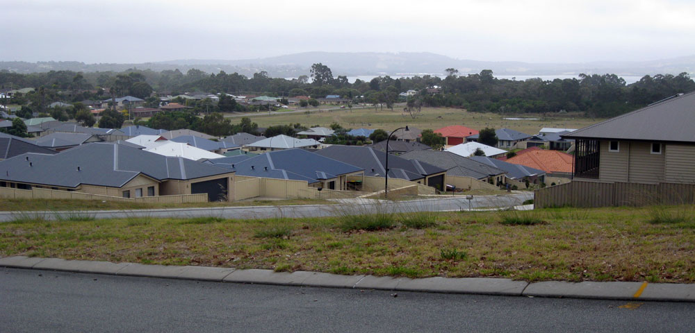
Oyster Harbour subdivision is currently being actively developed, and will eventually fill the land area between Lower King and Bayonet Head. The locality of Oyster Harbour on the Lower King Road is under staged construction, with 2,300 home sites being developed. Stage 1 began in 2006, it is now on Stage 6.
At our packed March 2016 meeting, Guest Speaker Darren Leslie (Professionals – Oyster Harbour Development) provided us with comprehensive information regarding the planned future development, and answered many questions from residents of the Oyster Harbour Development. Proposed planning includes: 1500 further home-sites, mostly on 640 sq.m. blocks (larger than those in the earlier stages of the development), plus 'cottage lots' of 450sq.m, and some scattered Homeswest homes.
A childcare centre, Medical centre, shopping centre, playing field, conservation bush-land belt, and Service Station are planned.
The population breakdown currently is: 30% retirees, 30% families, 30% young couples, and 10% singles.
Oyster Harbour development will have a purpose-built primary school and recreational facilities, 35 hectares of public open space including landscaped parkland, playgrounds, boardwalks, foreshore reserve and conservation wetlands.
Street names in some of the future development will be names of the Anzac ships.
- Some features now classed as either Lower King or Bayonet Head, will eventually become part of the 'Oyster Harbour' community.
- A community program was started in 2014, with outdoor movie nights, dedicated walking trails, and other events planned
- There is also an expanding, self-contained Retirement Village, Oyster Harbour National Lifestyle Village, on Alison Parade.
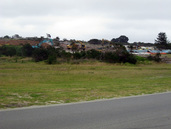
Oyster Harbor Estate - looking North over Lower King, towards the Kalgan
|
Next - looking North-West over Lower King, towards the Kalgan
|
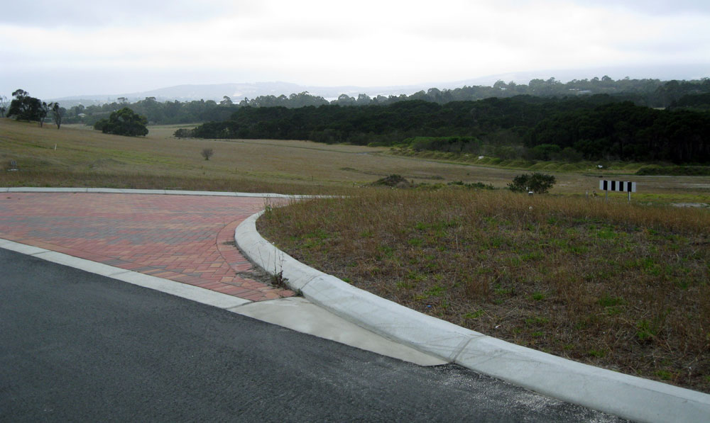
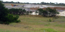
Progress: looking South-West towards Bayonet Head Jan 2016
|
Oyster Harbor Estate - looking South towards Bayonet Head and Albany, Jan 2016
|
Oyster Harbour itself is a permanently open estuary, covering an area of 15.6 square kilometres (6 sq mi).
Oyster Harbour is fed by the King and Kalgan Rivers and discharges into King George Sound. At the deeper, Emu Point end, it is used to shelter leisure vessels and a fishing fleet carrying out commercial fishing and farming oysters and mussels. In 1991, Fisheries W.A. granted a fish-farm license to Ocean Foods, who have leases North and North East of Green Island, farming blue mussels.
Mainly small-boat fishing takes place in Oyster Harbour, but there is some jetty fishing from the Elizabeth Street Jetty.
Likely catches include herring, skippy, whiting, squid, flathead and rock species.
A popular attraction today is the Kalgan Queen, a glass-bottomed boat which crosses Oyster Harbour from Emu Point, and goes as far as is navigable up the Kalgan River. This is an enjoyable and informative way to visit the local history and wildlife.
- A significant number of waterbirds feed on the Oyster Harbour mudflats, and can be seen from the Esplanade at low tide.
- Ospreys, Sea Eagles, and many other bird species inhabit the surrounding waterways.
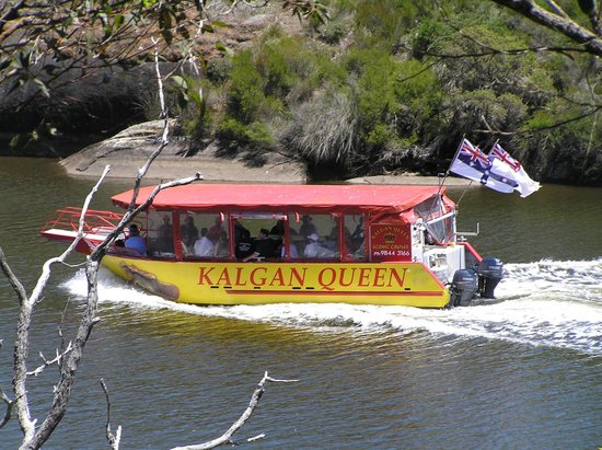
Kalgan Queen - having passed Bayonet head and crossed Oyster Harbour, she is now sailing up the Kalgan River.
|
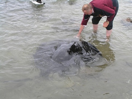
feeding the Giant Rays in Oyster Harbour
|
Oyster Harbour was originally dismissed as being too shallow to be useful to the first settlers, with only one suitable shipping channel. This is because the area was initially a flood-plain for the King River, which has been steadily silting up over the centuries - the one remaining deep channel being the actual river, which is now underwater.
This silting process is increasingly affecting navigation, particularly on the King River.
- Only small boats can access the King River, due to the structure of the bridge and low water levels.
- The Kalgan can be navigated past the bridge, if vessels are not too tall - the Kalgan Queen has a collapsible funnel.
A study of core-samples from Oyster Harbour was recently undertaken by scientists from Edith Cowan University.
The 600-year cores showed that the Oyster Harbour seagrass meadows have shrunk by over 80%, due to human activity late last century - mainly from increased nutrients and silt deposits caused by escalating land clearing and farming in the 1960's, 70's and 80's.
Our seagrass meadows are slowly recovering, but were virtually wiped out by the end of the 1980's.
At the north eastern end, near the mouth of the Kalgan River, there are a series of Fish Traps, a site of great significance to the local Menang peoples, originally constructed over 7,500 years ago. More fish traps on the shore used to be at a meeting place/corroboree ground, where marriages were arranged, and other tribal business negotiated.
A boardwalk and shelter have now been installed to protect the site, with signage that outlines its significance, and how the fish traps were used, and the role they played in the life of Menang people. The site was opened in a ceremony in May 2015.
A boardwalk and shelter have now been installed to protect the site, with signage that outlines its significance, and how the fish traps were used, and the role they played in the life of Menang people. The site was opened in a ceremony in May 2015.
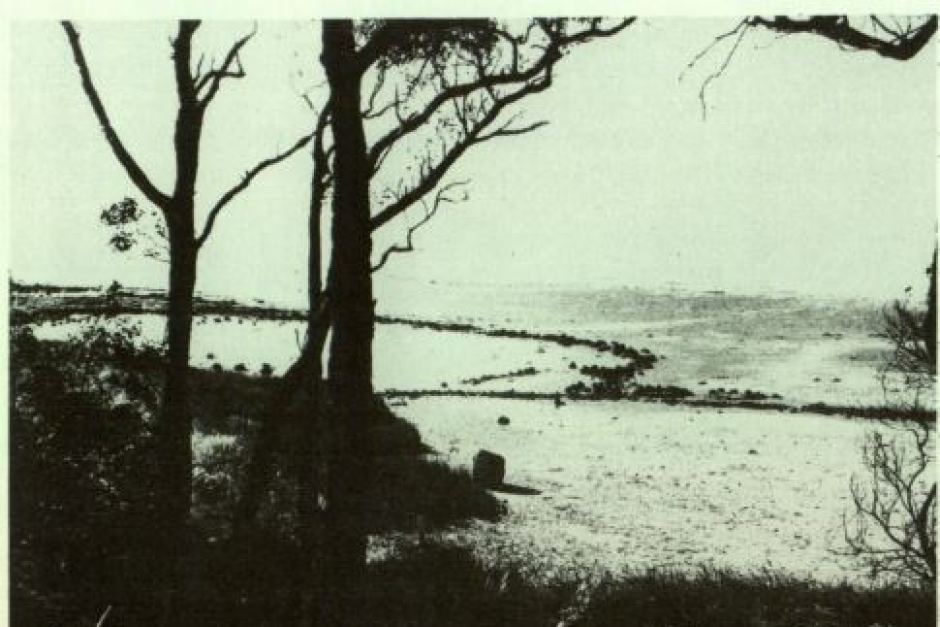
An old photograph of the Oyster Harbour fish traps, taken approx 1900
|
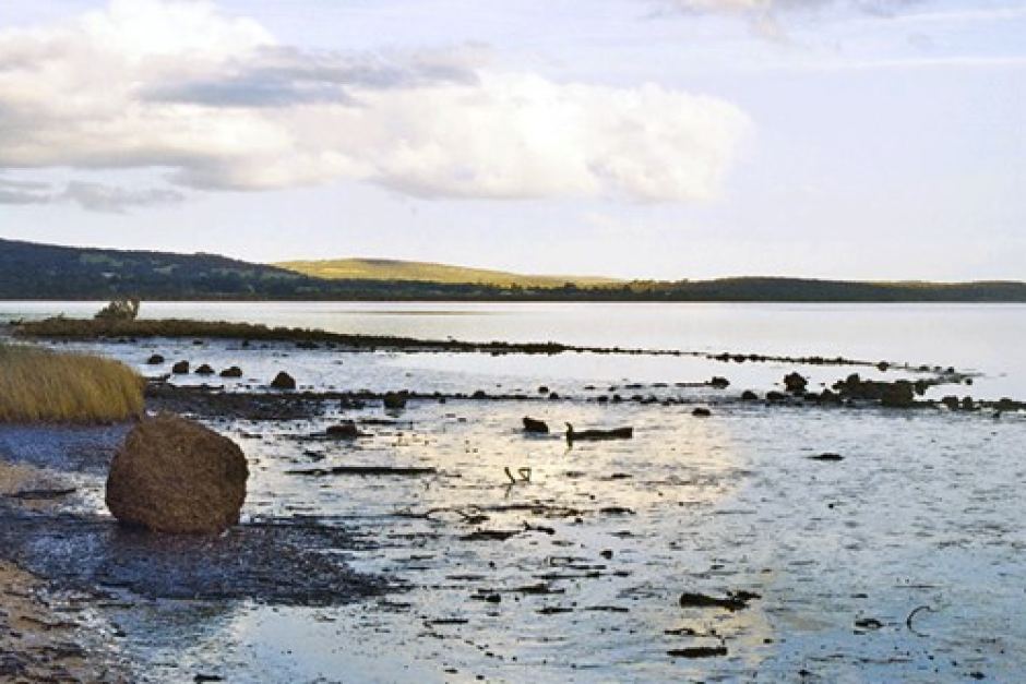
Oyster Harbour fish traps today - still visible at low tide
|
